


Since the Industrial Revolution, increasing carbon emissions have been continuously heating our planet, and this has increased the frequency and severity of natural disasters. Among these adverse conditions brought about by climate change, forest fires hold a particularly important place. Google has developed a technological solution to this problem with the ‘forest fire perimeter tracking’ feature. This feature provides the ability to track forest fires live through Google Search and Maps applications. With this service made available in Turkey, fires can be monitored in real-time on Google Maps and information about the fire areas is updated.
You Can Track Forest Fires on Google Maps
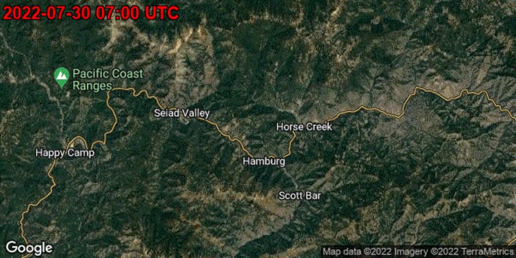
Forest fire perimeter tracking not only shows the boundaries of fires but also visualizes how quickly the fires are spreading. Fires pose great dangers especially in areas close to residential zones, and thanks to this feature, citizens can take quicker precautions against approaching fires. According to Google’s statement, this service has now been activated in 15 new countries including Turkey. This feature is vital for people living in areas at risk of fire and demonstrates how technology can make a difference in the face of natural disasters.